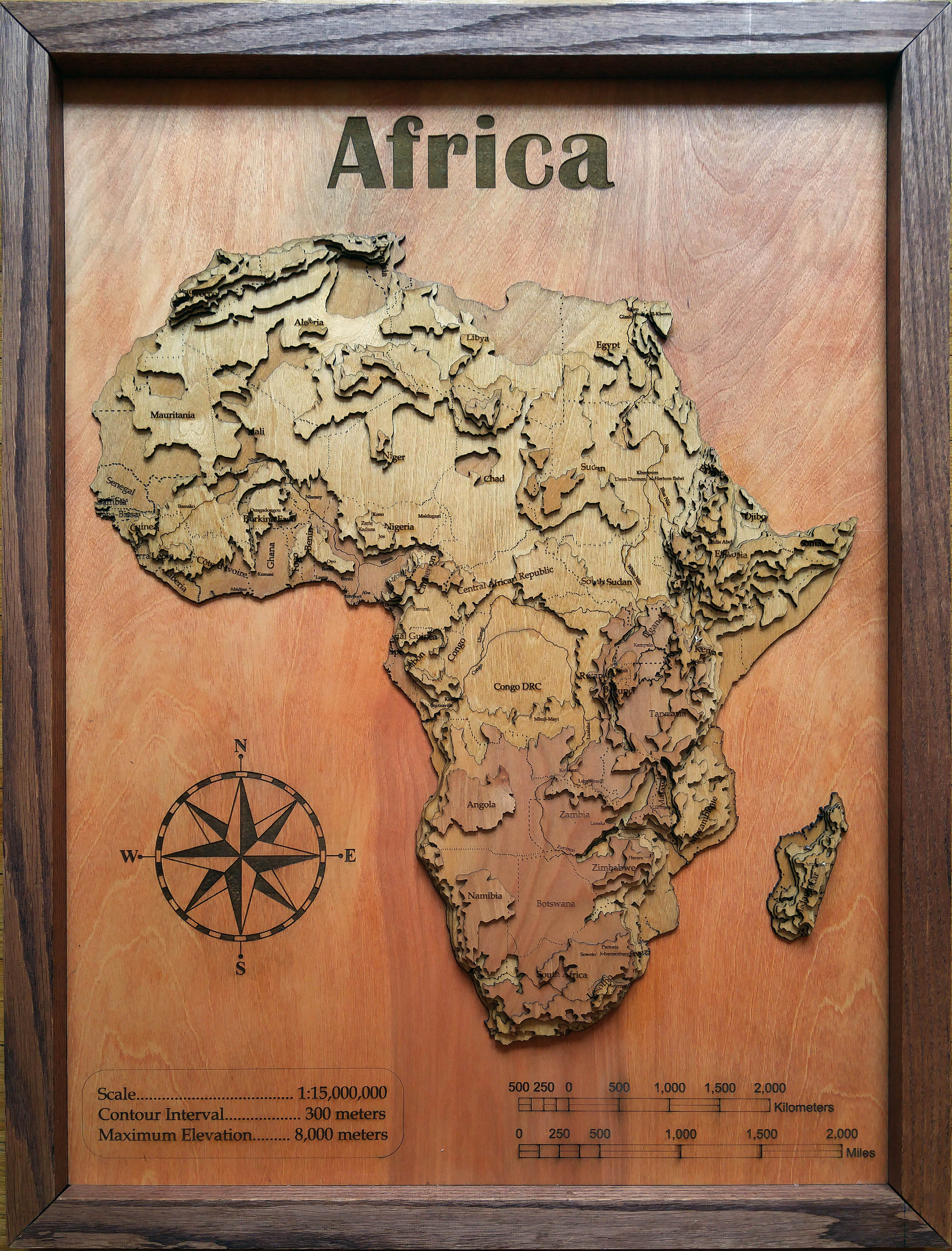
Meridian Maps

World Maker Faire 2017
Hands-on Activity
Meridian Maps are 3-dimensional laser-cut wooden layered maps accurately representing both the contours and the elevation of any geographical area in the world.
What inspired you to make this project?:
Combining a love of maps, woodworking and technology it all just came together.


